Seeing Earth from Space
How orbital instruments turn light, heat, and repeated observations into geographic knowledge.
Browse the complete Atlas collection. Find a new perspective on water, land, maps, and the forces beneath our feet.
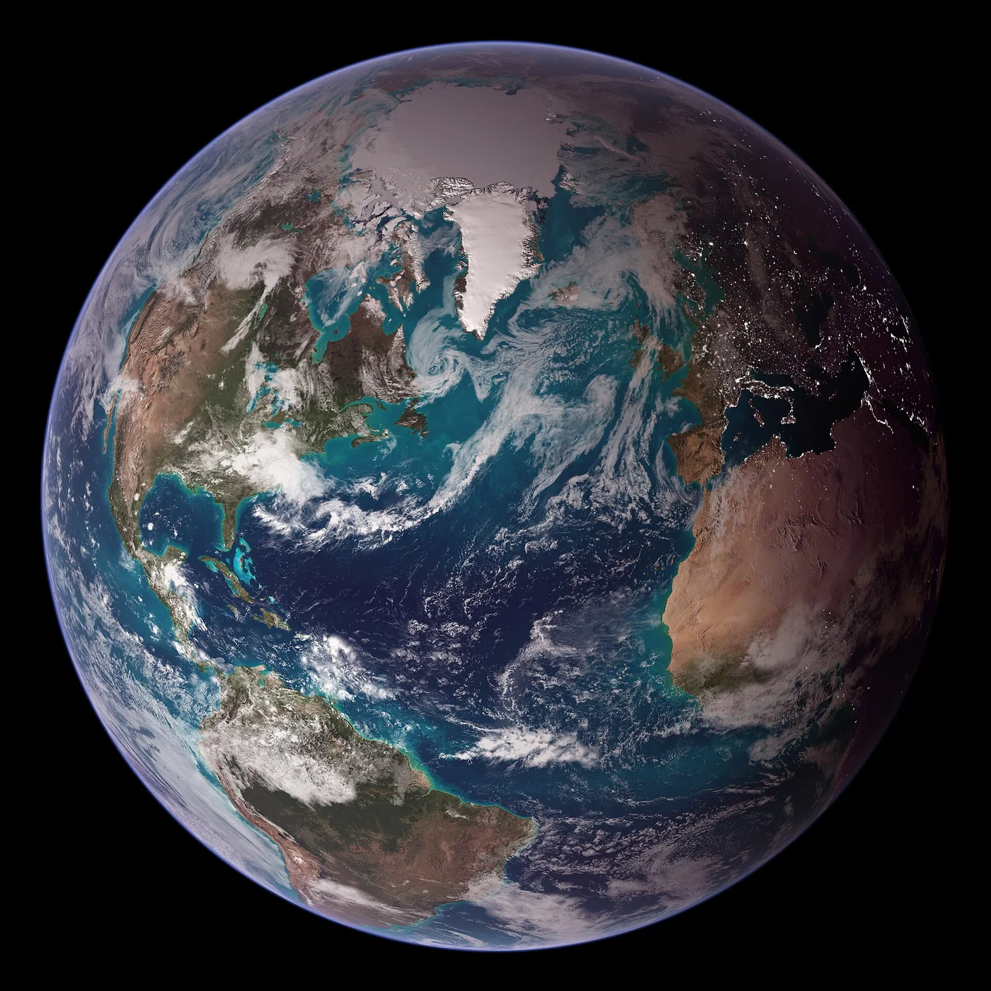
How orbital instruments turn light, heat, and repeated observations into geographic knowledge.
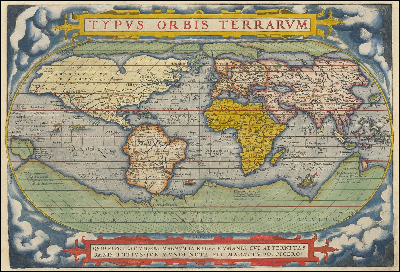
From hand-drawn coastlines to digital projections, every map is a choice about reality.
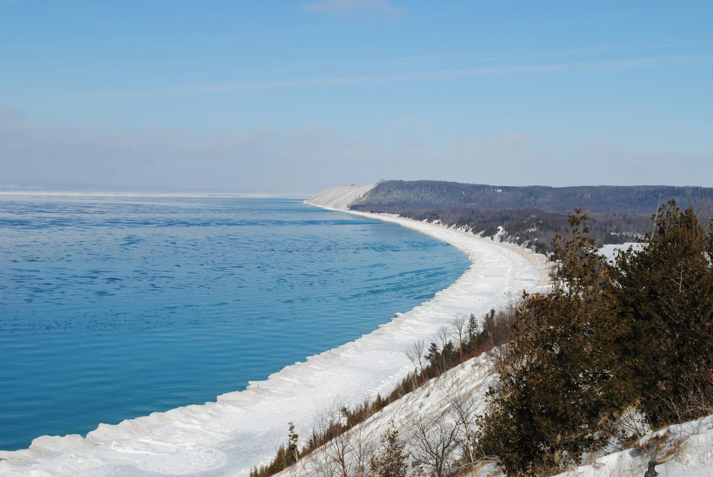
Five freshwater lakes, a glacial past, and a watershed that shapes an entire region.
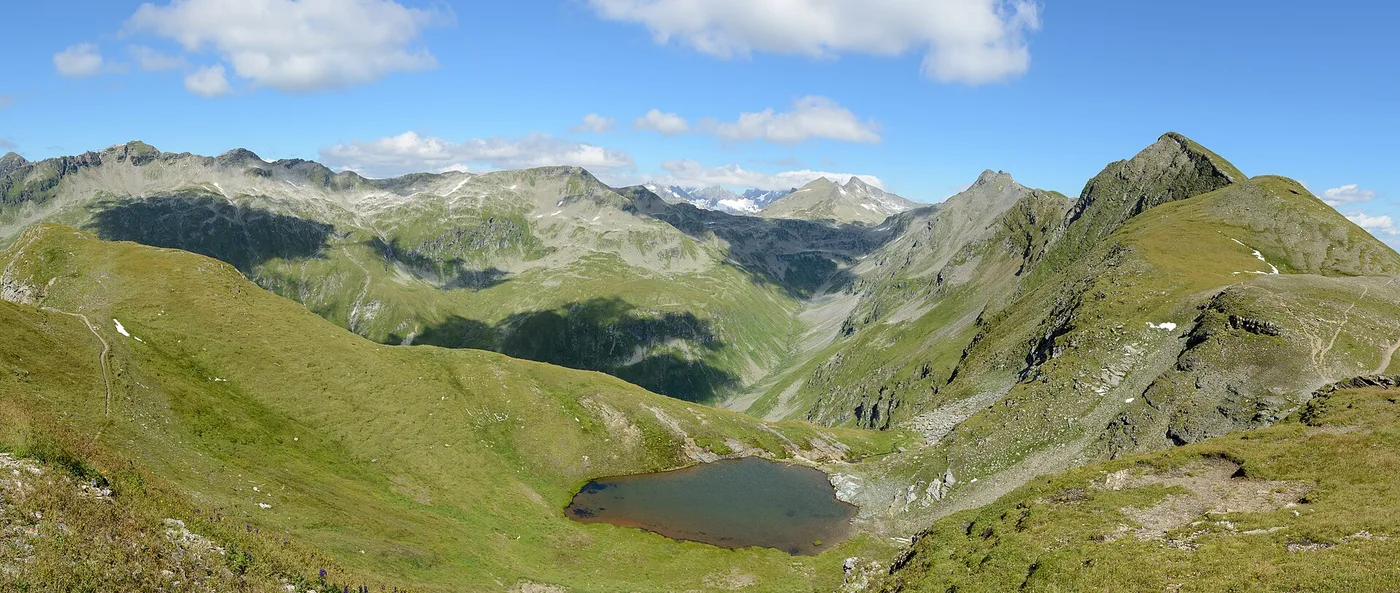
Collision raises the land, erosion carves it, and deep geological time connects the two.
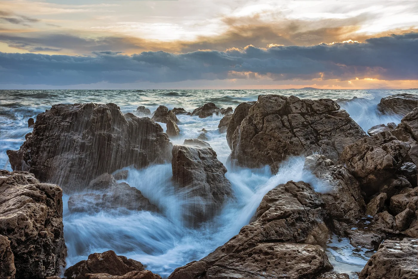
Surface winds, density differences, and Earth’s rotation keep seawater in motion.
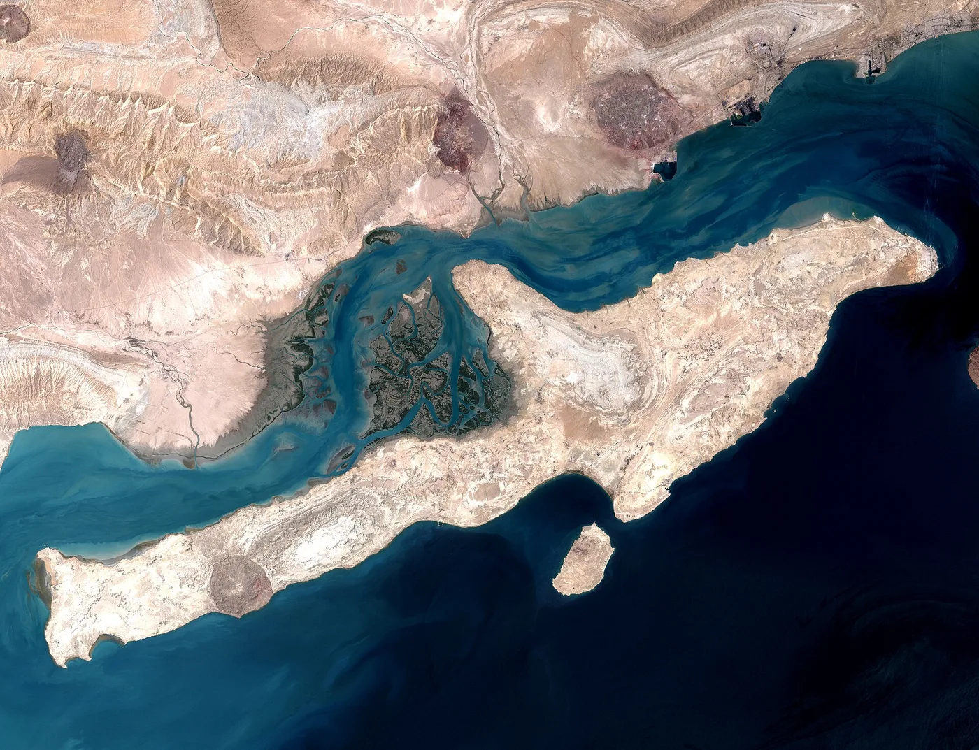
Sediment, changing channels, and coastal energy create some of Earth’s richest landforms.
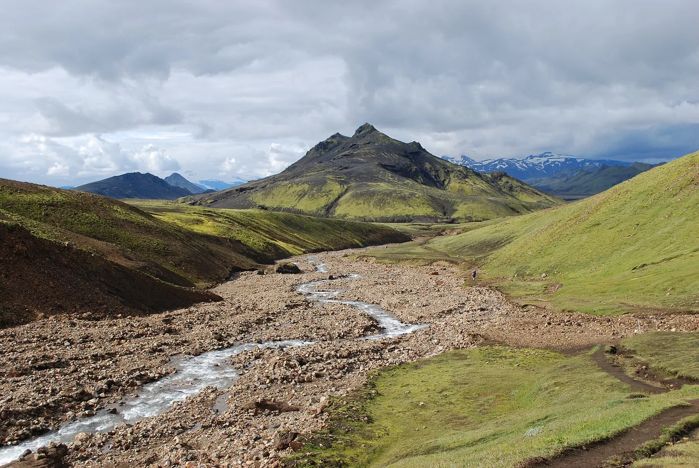
Why continents drift, ocean floors spread, and earthquakes cluster along boundaries.
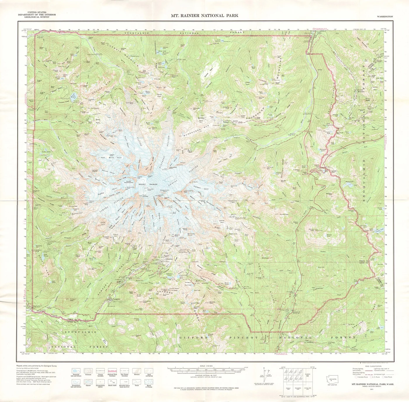
Contour lines make hills, valleys, ridges, and elevation legible on a flat page.
No stories match your selection. Try another topic or search.