From the air, the Great Lakes resemble an inland sea: vast horizons of blue water framed by forests, ports, cities, and coastlines. Yet their geography begins with ice.
A landscape left by ice
The Great Lakes—Superior, Michigan, Huron, Erie, and Ontario—occupy basins that were deepened and reshaped by repeated glaciations. During the last ice age, enormous ice sheets moved across much of northern North America, grinding over underlying rock and rearranging older river valleys. As the ice withdrew, meltwater collected in the basins it left behind.
The result is the largest interconnected freshwater lake system by surface area on Earth. The lakes are not isolated bowls: natural channels, rivers, and engineered navigation routes connect them into a broad drainage network that reaches the Atlantic Ocean through the St. Lawrence River.
Five lakes, five different characters
Superior is the largest and deepest of the five. Michigan lies entirely within the United States, while Huron, Erie, Ontario, and Superior cross or follow the United States–Canada boundary. Michigan and Huron are sometimes considered one connected hydrological body because water moves freely through the Straits of Mackinac.
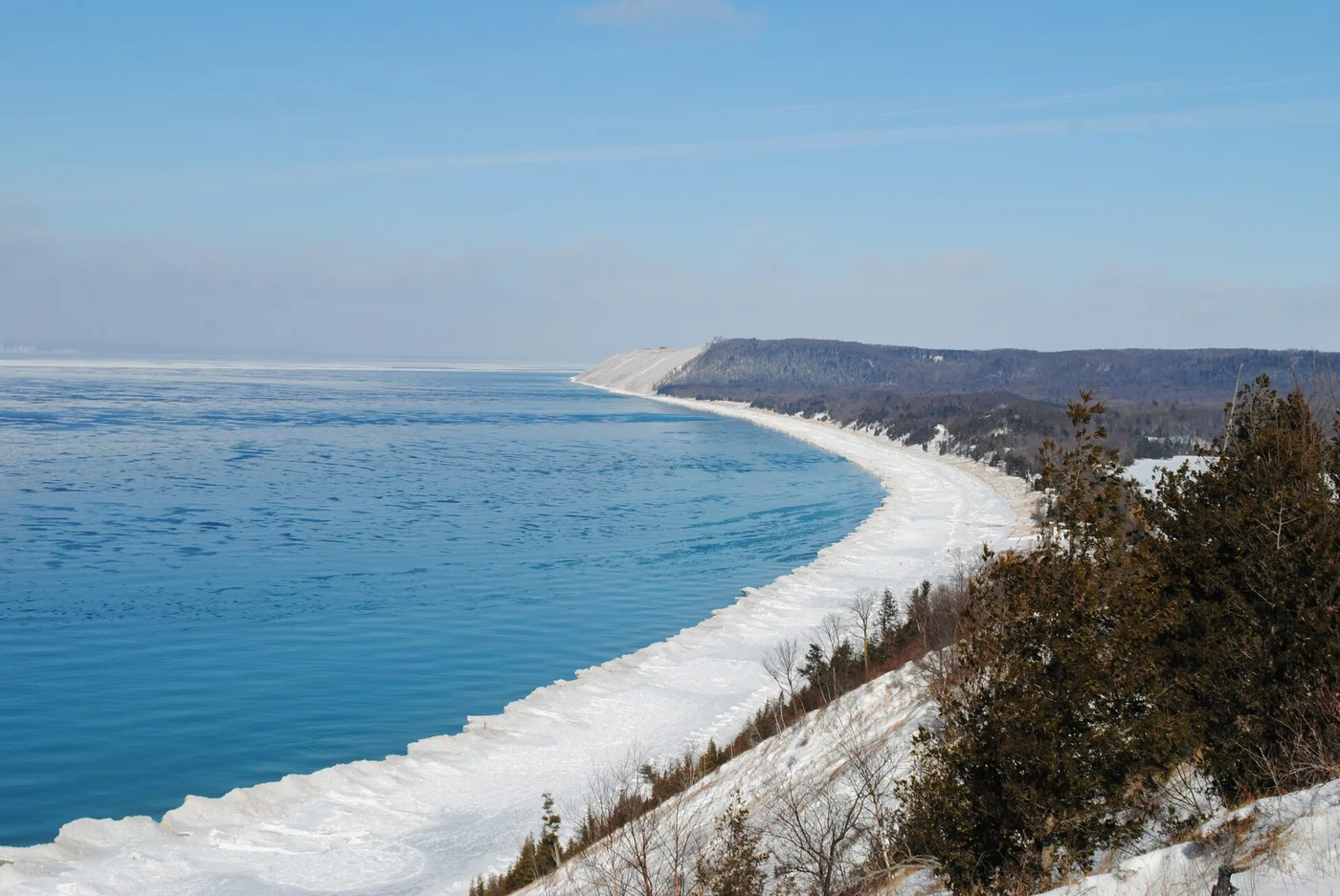
The shallow waters of Erie respond quickly to changes in temperature and weather. By contrast, Superior’s great depth stores vast quantities of cold water. Shorelines shift from rocky cliffs and broad dunes to wetlands and built-up urban edges.
Weather made by water
Large lakes modify the climate around them. In warmer months, their comparatively cool surfaces can moderate nearby temperatures. In colder months, open water can add heat and moisture to cold air moving across the region, contributing to lake-effect snow downwind. The exact effect depends on wind direction, ice cover, and temperature contrast.
Lake Michigan’s western shore is home to Chicago. The city’s waterfront is a visible reminder that natural geography and urban history are intertwined: its harbor, climate, transport routes, and public spaces are connected to the lake.
An interconnected ecosystem
The Great Lakes watershed supports fish, migratory birds, coastal wetlands, freshwater marshes, and millions of people. It also faces pressures from nutrients, invasive species, pollution, and changing climate conditions. Conservation is therefore not just about individual shorelines; it requires coordination across the whole basin.
To understand the lakes, imagine them less as five objects on a map and more as one system—formed by ice, linked by water, and continually shaped by people and climate.
Further reading & references
These public educational resources informed the overview above. Image credits and reuse licences are listed on our sources page.
NOAA — Great Lakes ecoregion ↗EPA — Great Lakes facts and figures ↗Great Lakes Commission — About the lakes ↗