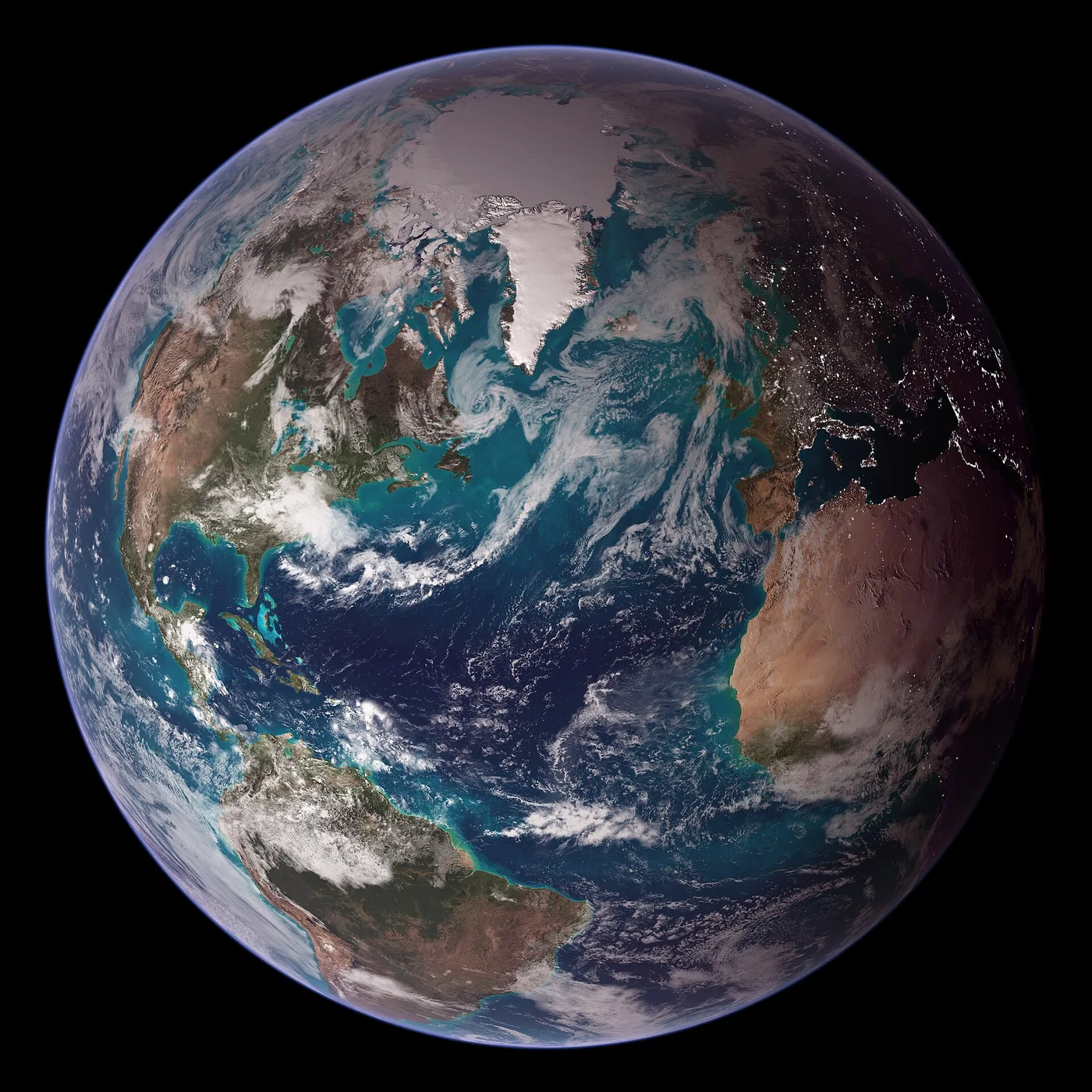
A satellite image can look like a photograph of the world, but much of its scientific value comes from something less obvious: the measurements hidden inside each pixel.
More than a photograph
Remote sensing describes the observation of an object or place without direct contact. Earth-observing satellites carry instruments that measure reflected sunlight, emitted heat, or other signals. Different sensors collect different parts of the electromagnetic spectrum.
Some images closely resemble what a person might see. Others use infrared or other wavelengths to reveal vegetation health, temperature patterns, cloud properties, or changes in the landscape. Colors in these scientific composites may be assigned to make invisible measurements understandable.
Looking again and again
Repeated observations are particularly useful. By comparing images acquired at different times, researchers can study urban expansion, flooding, forest loss, ice cover, and many other changes. The repeat interval depends on the satellite's orbit and instrument design.
Cloud cover creates obstacles for optical sensors, and image quality depends on resolution, atmosphere, viewing angle, and calibration. Radar instruments can provide different kinds of observations, including under cloudy conditions.
Scale, pixels, and context
A sensor with coarse spatial resolution can monitor broad patterns across large regions. A finer-resolution instrument can show smaller features but may cover a smaller area or revisit less frequently. Spectral, temporal, and spatial resolution involve tradeoffs.
Interpretation also needs geographic context. A dark patch may be water, vegetation, shadow, or another surface with similar brightness. Scientists combine satellite measurements with field observations, maps, and other datasets.
A shared view of a changing planet
Earth observation connects local features to planetary patterns. Satellite records make it possible to compare coastlines, agricultural land, cloud systems, or sea-surface conditions across borders and over time.
Seen from orbit, Earth appears whole. Studying it well still requires careful attention to the details.
Further reading & references
These public educational resources informed the overview above. Image credits and reuse licences are listed on our sources page.
NASA Earth Observatory — Remote sensing ↗NASA — How to interpret a satellite image ↗NOAA — Satellites and the ocean ↗