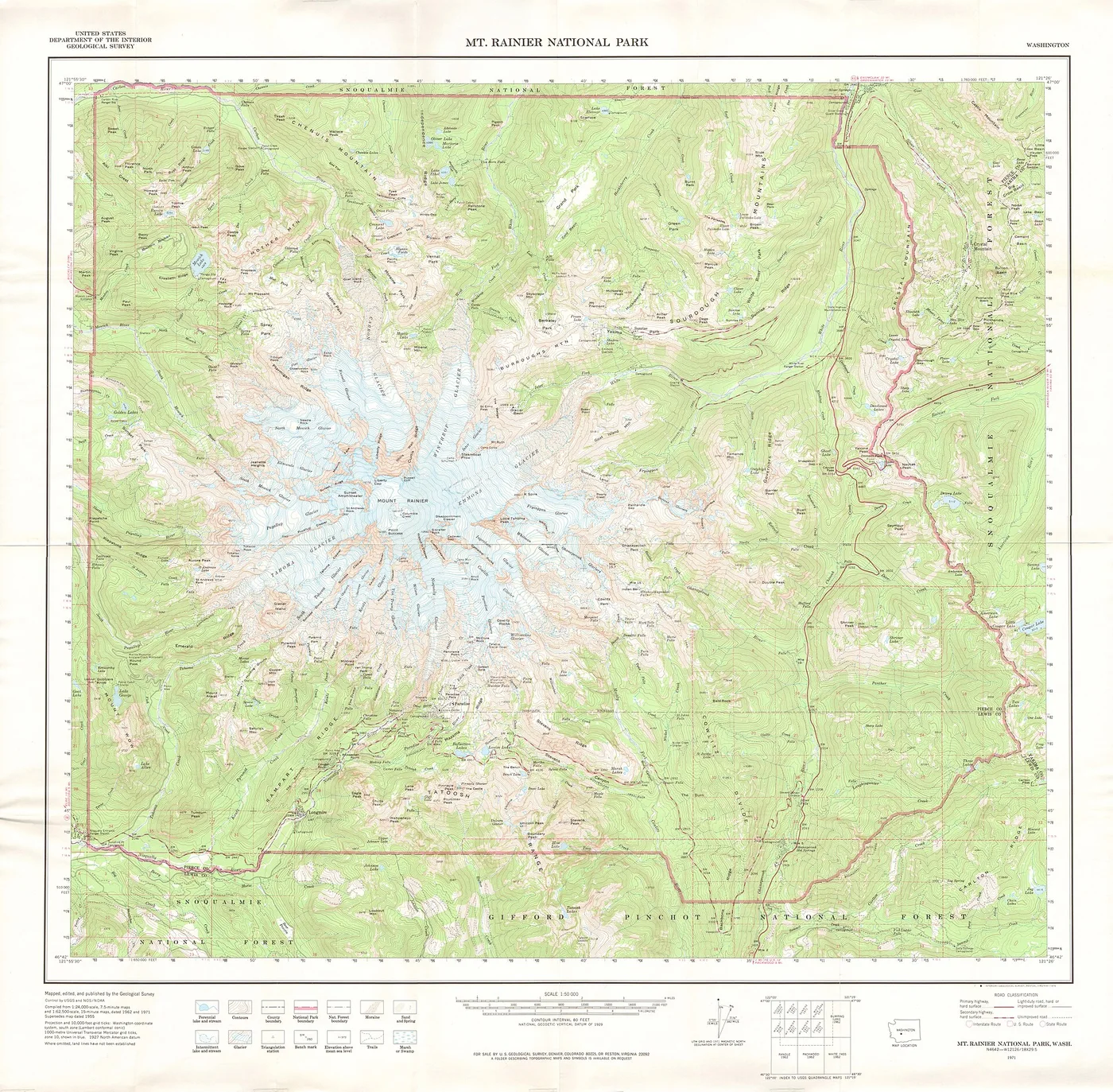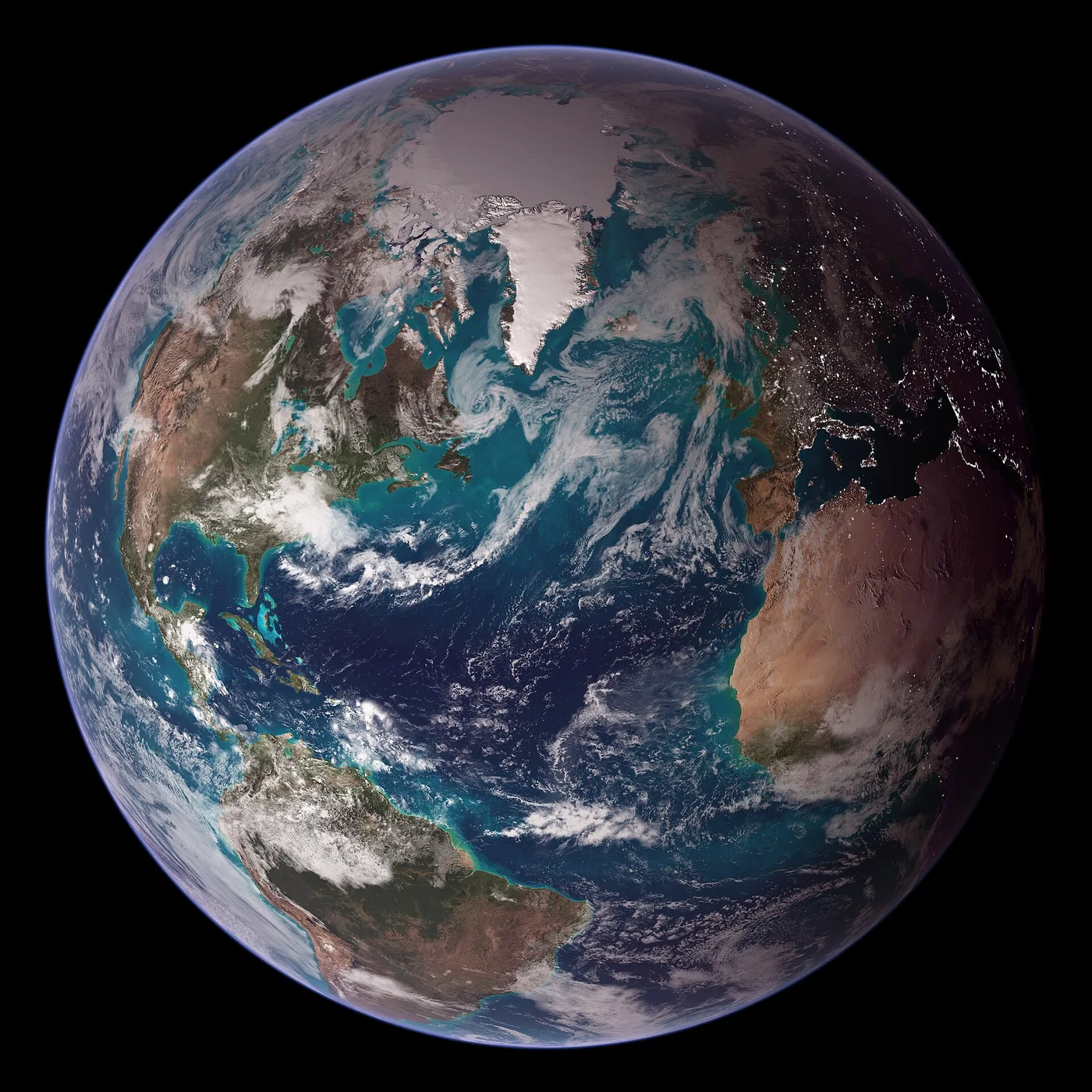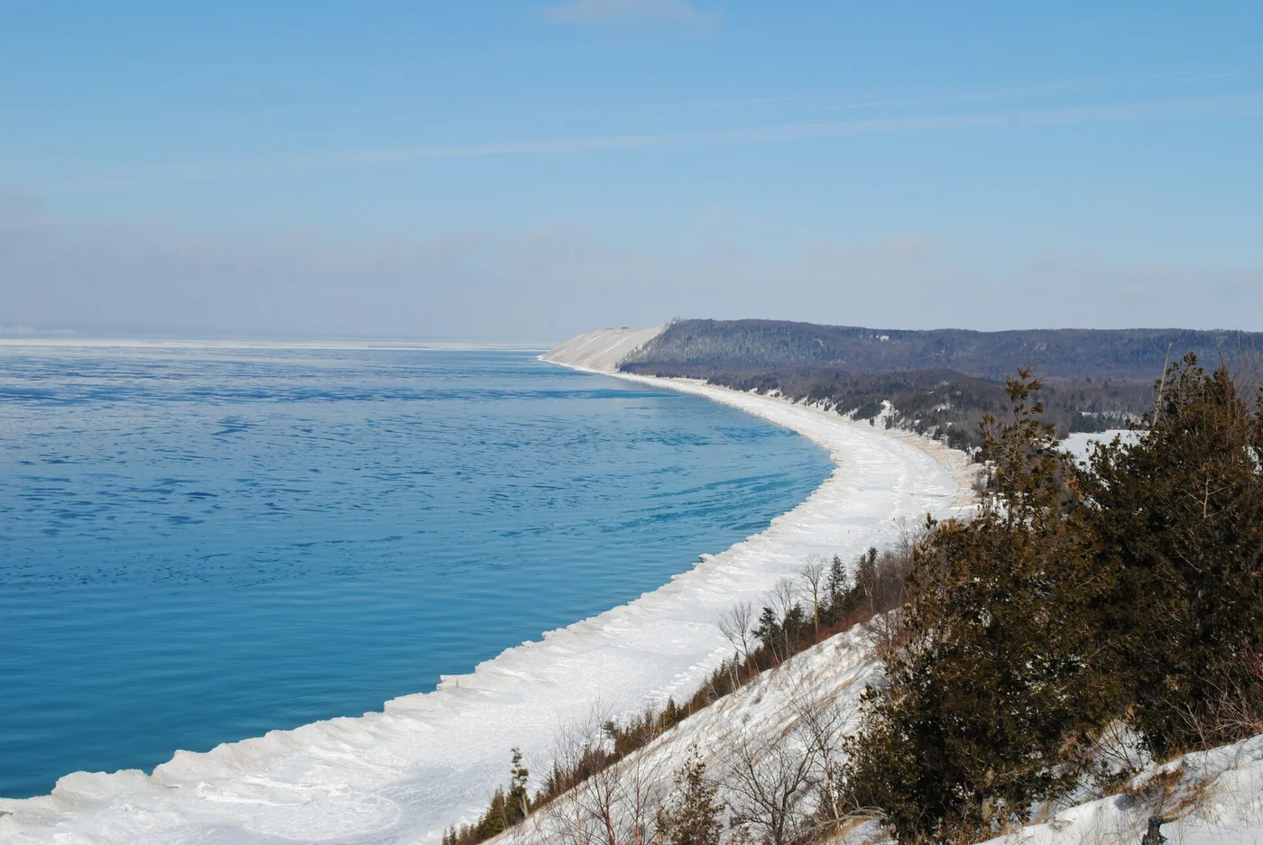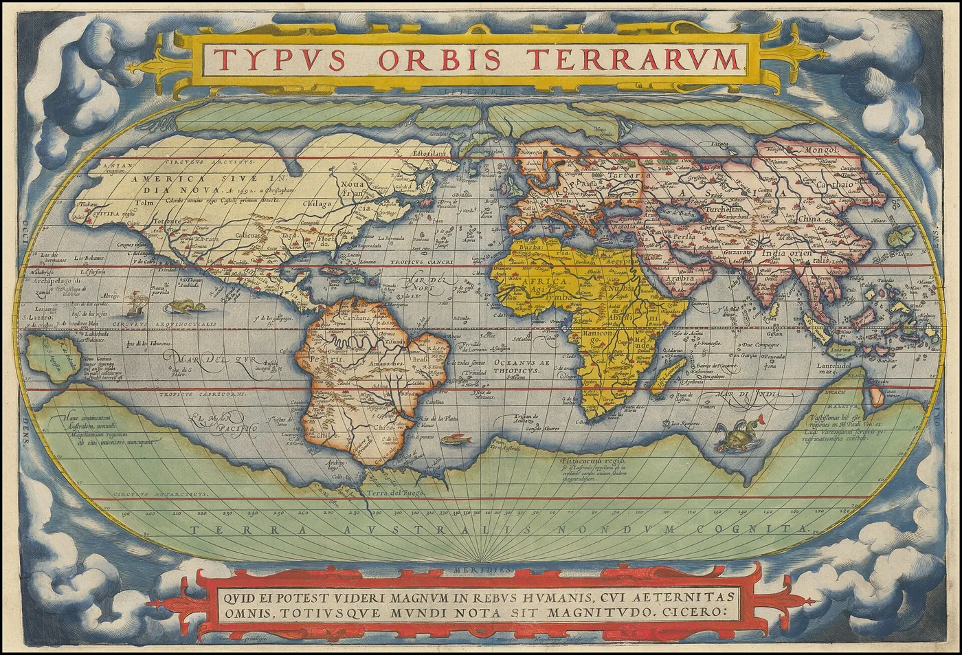
No map can show everything. The history of cartography is a history of observation, measurement, imagination, and the difficult art of deciding what to leave out.
Maps before satellites
People have mapped places for thousands of years. Early maps served many purposes: describing travel routes, land ownership, trade networks, and ideas about the world. Their accuracy varied with the observations and tools available to their makers.
Travelers’ reports, astronomical observations, and coastal surveys gradually expanded geographic knowledge. Maps also reflected the political priorities and cultural assumptions of the societies that created them. Reading a historical map means studying both the landscape it depicts and the viewpoint of its author.
The problem of a round Earth
A globe gives a relatively direct representation of Earth’s shape, but a paper map must flatten a curved surface. This cannot be done without distortion. Different projections preserve different properties, such as local angles, areas, distances along particular paths, or directions from selected points.
The Mercator projection, for example, is useful for certain navigation tasks because constant bearings appear as straight lines. It also enlarges high-latitude regions dramatically. An equal-area projection makes a different compromise. Neither is the single correct picture of the world: the choice depends on the map’s purpose.
From paper to layers
Modern geographic information systems can combine elevation, roads, climate data, population, land cover, and other measurements. A digital map is often a collection of layers rather than one fixed drawing.
Satellite positioning and remote sensing supply vast amounts of information, but field verification and thoughtful design remain necessary. A precise measurement can still be presented in a confusing way.
The ethics of representation
A map is an argument about what matters. Color, labels, borders, classification thresholds, and scale influence the reader's interpretation. Responsible cartography makes sources and limitations clear rather than pretending that every boundary or category is absolute.
The most useful question to ask of a map is not only “Is it accurate?” but also “Accurate for what purpose?”
Further reading & references
These public educational resources informed the overview above. Image credits and reuse licences are listed on our sources page.
USGS — Topographic mapping ↗USGS — What is a topographic map? ↗